
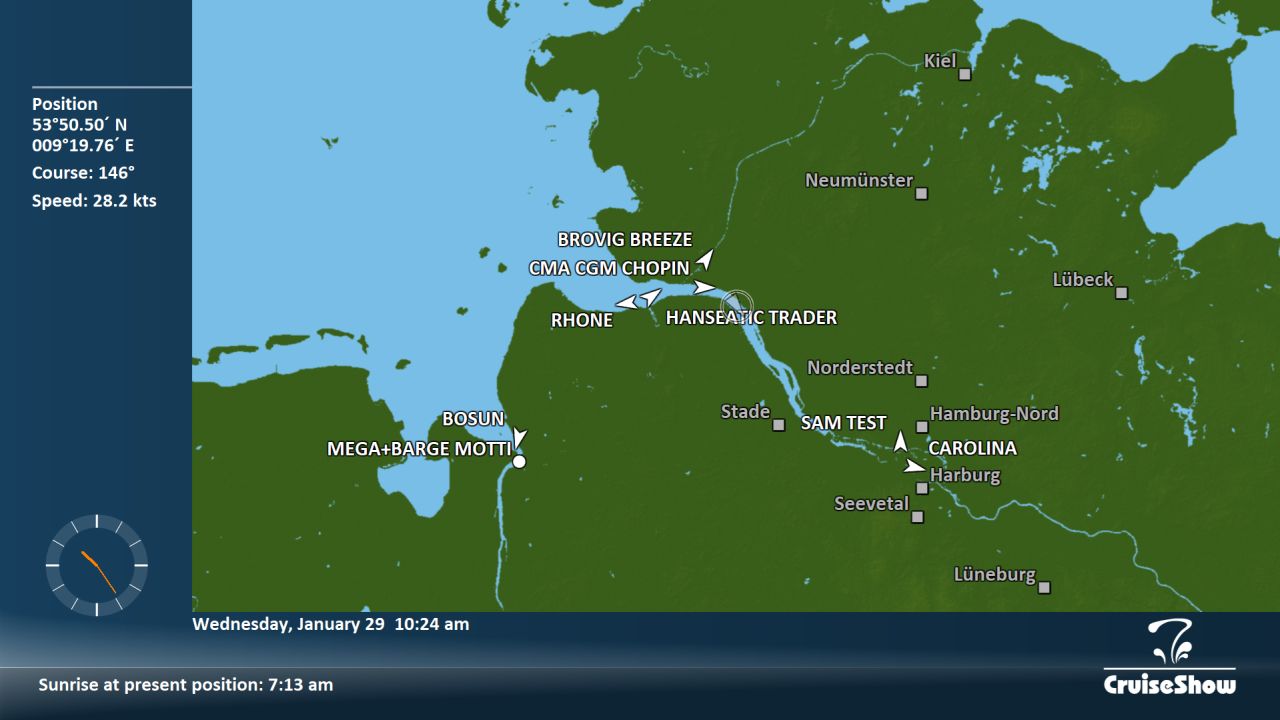
The AIS module provides information about nearby vessels received from the Automatic Identification System on
► a dedicated base map and
► the local map if the Local Maps Module has been installed.
AIS data is read from the vessel's NMEA protocol, and AIS objects are prioritized by size and type. If the GPS antenna reference of a nearby vessel is provided by AIS, the corresponding outline dimensions are drawn on the local map. A typical maximum range for receiving AIS data is 20 nautical miles.
[ Contact ]
[ Privacy ]
[ Imprint ]
T: +49 (0)8363 6025
T: +49 (0)8363 6025